There's a self-guided trail down to the Minnesota River with informative stops along the way. Here are some images I took.
This is the start of the trail which is approximately 2 miles or so round trip. You start off walking through prairie grasses and wild flowers.
The view to the west
The view to the north. Just beyond the trees is the river.
There was a bench to sit and rest and enjoy the view
For centuries animals and people used the solid footing and shallow waters at Traverse des Sioux as a natural river crossing. The crossing became a place for people to meet and trade goods. European fur traders were quick to see the advantages of the location and set up trading houses.
The river didn't look all that shallow to me. I don't think I wanted to test it. With all the rain we've had this year, the current is pretty fast. But it still looks pristine, doesn't it?
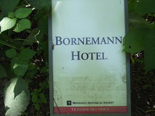
There were signs like this on the trail indicating where buildings were located in the village.
The walk was beautiful and serene. I tried to imagine what life was like in 1851 in this place. I'm sure, for the most part, it was very harsh. Even though the surroundings were woodsy and prairie-like, there was no getting away from the noise of traffic on Highway 169.
Once the Treaty was signed, the Dakota were moved to a ten-mile tract of land along the Minnesota River. There was a lot of skulduggery after the Treaty was signed and the Dakota didn't get what was promised. Thus the cause of the 1862 Sioux Uprising and the ultimate demise of the Dakota 38 in Mankato, Minnesota.
When I finished the hike I visited the museum.
I have just recently learned that I have an ancestor that was a member of the Dakota tribe and was on one of the raids around Fort Ridgely in 1862. I guess that must be where my interest of the Native culture comes from. This Treaty site is only 15 miles from where I live. Why wasn't this piece of local history taught when I went to school? Look around, there is history all around us if we take the time to learn.
He sei ci nihi


